
The Geographical Information Systems (GIS) are information systems that provide the option to digitally collect, store, process, manage, analyse and visualise data that are related to space.
The use of DRONES (multicopters / fixed wing) contributes to the section of the system that is responsible for the digital feed of the above-mentioned data.
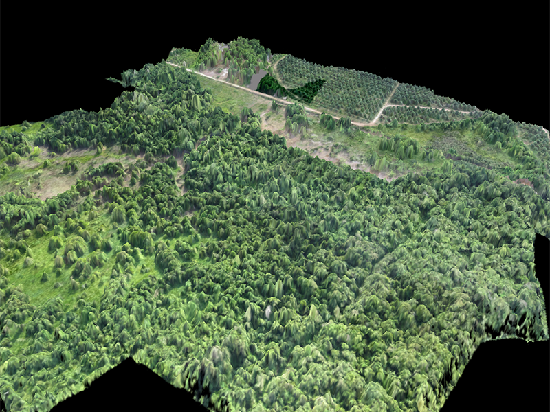
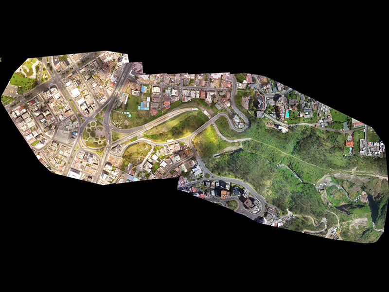
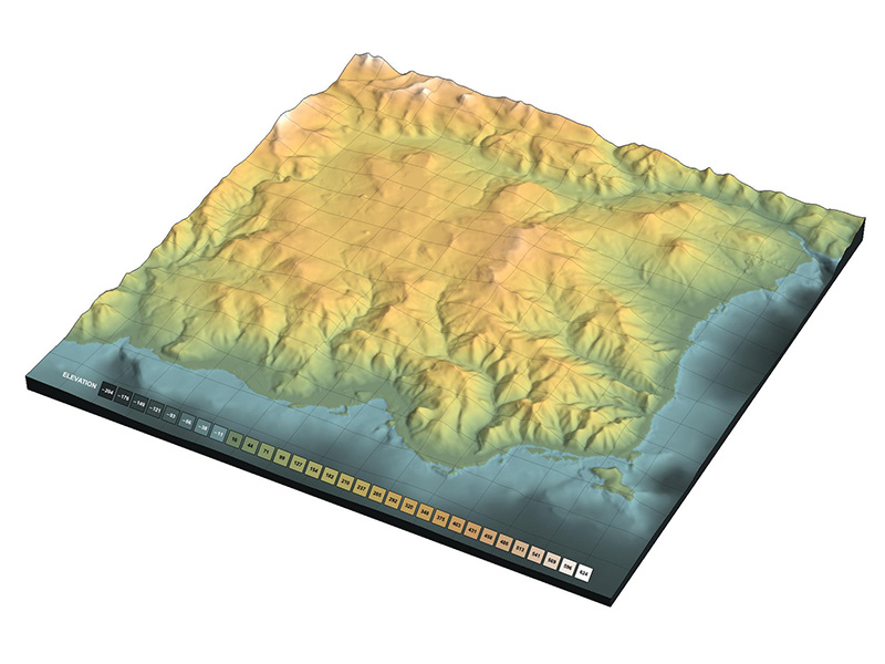
This is carried out with digital mapping of the areas of interest using appropriate cameras to achieve digital modelling in 2D Orthomosaics and 3D Modelling.
Their use also offers significant benefits for the Extractive Industry, since applications for data collection, titration and stock management, are created incredibly easy and accurately.
All these benefits are available virtually immediately without the need of a manned airplane or a satellite, while conditions of cloud do not affect any reception, as the Unmanned Aerial Vehicles (UAV) fly at lower altitudes.
In any related business sector, for example agriculture, environmental protection, telecommunications, energy, extraction, real estate, constructions etc., drones can offer you great accuracy in measurements and data collection, in a short time and at a lower cost.
Potential Applications and Uses
- 3D Modelling
- 2D Orthomosaic
- Photometry
- Stereo photometry
- Volume Calculation
- Resources Calculation
- Erosion Detection
- Topography
- Mapping
- Stockpile Management
- Road Construction
- Mines Management