

Aerial photography and video footage is undeniably the most impressive way to present your creation with an option to record your project during the different stages of its construction.
Aerial images can be captured with the use of the appropriate Drone (UAV) and cameras, with clearly better flexibility, incredible resolution at very low cost.
We can offer our mapping services by collecting georeferenced images of your project in order to create 2D and 3D modelling maps in a centimeter level accuracy.
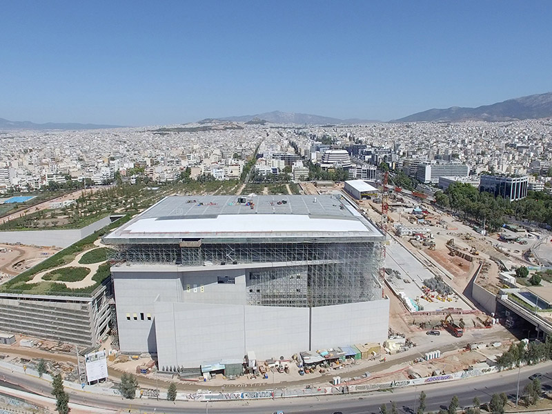
From the renovation of a public square or building to the progress of construction works of the National road network, these are only some of the examples of the services that we offer to contracting Construction Companies, Public/Private Organizations and Companies for the promotion of their projects to the citizens or their customers.
Potential Applications and Uses
- Public Installations
- Private Premises
- Buildings
- Road Network
- Tunnels
- Railway Network
- Overhead Power Network
- Natural Gas Pipeline Network
- Water Management Network
- Airports
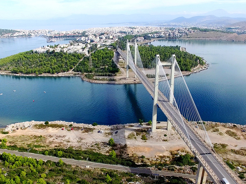
- Bridges
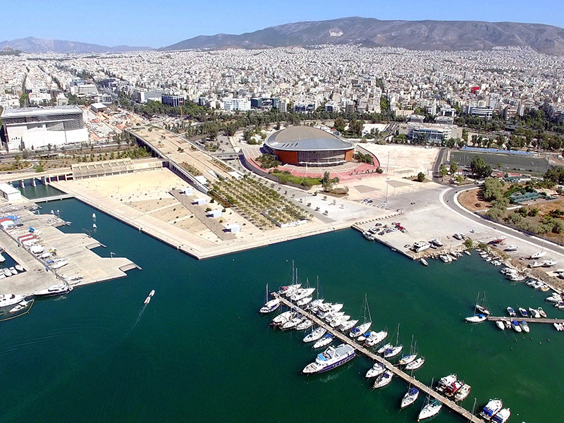
- Ports / Marinas
- Wind Parks
- Photovoltaic / Solar Parks
- Hydroelectric Power Plants
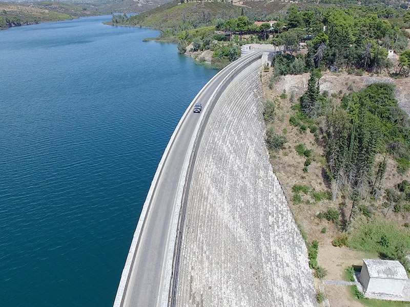
- Dams
- Industrial Areas
- Recreational Sites
- Sport Facilities
- Parks
- Work Zones
- Irrigation Networks